Continued from: Swiss Alps
Swiss Alps

The Swiss Alps form the highest mountains of the Alps, such as Dufourspitze (4,634 m), Dom (4,545 m), Liskamm (4,527 m), Weisshorn (4,506 m) and Matterhorn (4,478 m).
Geography
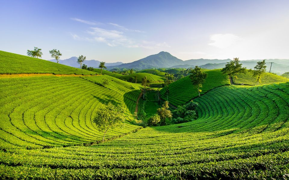
The Alps cover 65% of Switzerland’s total area of 41,285 square kilometers, making the country one of the highest mountain countries.
Zermatt Switzerland – Best Things to do during Winter – Beautiful Alpine Panorama [Travel Guide]

The glaciers of the Swiss Alps cover an area of 1,220 square kilometers, which is 3% of the Swiss territory, representing 44% of the total precipitation area of the Alps, i.e. 2,800 square kilometers.
Mountain Coaster Oeschinensee Kandersteg Switzerland

The Swiss Alps are located south of the Swiss Plateau and north of the national border. In Switzerland, the poorly defined areas on the border of the Alps, especially on the northern side, are called the Swiss Prealpi. The Swiss Prealps consist mainly of limestone and generally do not exceed 2,500 meters.
Lauterbrunnen Valley, a little Piece of Heaven in Switzerland. Walk tour

Alpine cantons (from highest to lowest) Valais, Bern, Graubünden, Uri, Glarus, Ticino, St. Gallen, Vaud, Obwalden, Nidwalden, Schwyz, Appenzell Innerrhoden, Appenzell Ausserrhoden, Friborg, Lucerne and Zug. Countries that share the distribution of the Alps with Switzerland (from west to east): France, Italy, Austria and Liechtenstein.
Photo & Video gallery continues…